

2 February 2010 Border Marker Hunting Around Piccadilly Circus
Maps: Cotter Dam and Tidbinbilla 1:25000
Getting There
This walk was organised and led by me as an irregular CBC Tuesday walk:
Tuesday 2 February - Border Marker Hunting around Picadilly Circus - range M/M,ptX to L/M,ptX. Starting at Picadilly Circus, a 9km walk S along the border to the Bulls Head picnic area looking for border markers. Skip out to Bulls Head. Return to Picadilly Circus along the Mt Franklin Road. If not too hot and interest has not waned, a search N along the Bindabella Range to the foot of Mt Coree. Return along Two Sticks Road. Around 9-20km and 200-700m climb. Maps: Cotter Dam and Tidbinbilla. Leader: John Evans - jevans@pcug.org.au, (h) 6288 7235. Transport: ~$15 per person.
3 of us met and drove via Uriarra Crossing, then the Brindabella Road to Piccadilly Circus where we parked.
Further Information
I did the originally advertised walk on 1 Jan 10, so have planned the Piccadilly Circus walk in its place.
Photographs
Access all primary pics here. All thumbnails in the walk report are active - click for a larger picture.
Walk
|
|
| Track a | Track b |
We found 36 border markers, 3 mile markers and 2 additional markers. See the ACT-NSW Border Markers page for more information.
Our first leg was S along the border, paralleling and crossing the Mt Franklin Road a couple of times. Most of the going was along the old fire break. Border markers on the flanks of both the road and the fire trail were protected with star pickets. Other markers were in the scrub - dense regrowth in places - just off the cleared lines. H51 indeed fitted its original description of 8" Post on Rocky Knob. The following markers were found - F51, G51, H51, I51, a 1" pipe and cairn near I51, J51, K51, L51, M51, N51, O51, 5 Mile, P51, Q51, R51, S51, T51, U51, V51, W51, X51, Y51, Z51, A52, B52, C52 and D52. In all, 25 border markers, 1 mile marker and 1 additional marker.
 |
 |
 |
 |
 |
 |
| F51 | G51 | H51 | I51 | 1" pipe and cairn near I51 |
J51 |
 |
 |
 |
 |
 |
 |
| K51 | L51 | M51 | N51 | O51 | 5 Mile |
 |
 |
 |
 |
 |
 |
| P51 | Q51 | R51 | S51 | T51 | U51 |
 |
 |
 |
 |
 |
 |
| V51 | W51 | X51 | Y51 | Z51 | A52 |
 |
 |
 |
|||
| B52 | C52 | D52 |
 |
We next followed the fire trail to Bulls Head, it's start being indicated by a rustic signpost. As we approached I thought a helicopter was landing - the wind turbine was howling in the wind gusts. Morning tea in the shade. A wander back along the Mt Franklin Road to the car at Piccadilly Circus. |
| Rustic signpost to Bulls Head |
The second leg was N along the border, again using the old fire break as the means to get close to the markers. The 4 Mile marker (between E51 and D51) required us to first go to D51, then pace our way SE. I do not have the locations for the mile markers, merely the fact that each is on the border line between two corner markers and at a known distance (recorded in the original survey note book) from the last marker in the direction the survey was done. As Alex P and my good wife have pointed out, I could always calculate some trigonometry. C51 was hard to find. At this stage, the old fire break near it was merely a footpad. The replaced, squared white peg marking B51 was smack in the middle of the footpad. We protected it with a large rock (before and after shots below). T50 was just too hard to find, either in a huge blackberry patch or under a large fallen tree, so I was happy to give up at this point. The following markers were found - E51, 4 Mile, D51, C51, B51, A51, Z50, Y50, X50, W50, 1" pipe in ground covered by cairn, 3 Mile, V50, U50. In all, 11 border markers, 2 mile markers and 1 additional marker.
 |
 |
 |
 |
 |
 |
| E51 | 4 Mile | D51 | C51 | B51 in middle of track |
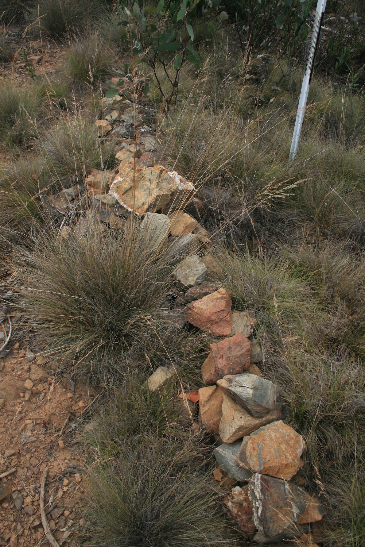
B51 after protection |
 |
 |
 |
 |
 |
 |
| A51 | Z50 | Y50 | X50 | W50 | 1" pipe in ground covered by cairn |
 |
 |
 |
|||
| 3 Mile | V50 | U50 |
We returned along Two Sticks Road.
Thanks for your company and hunting, Henry H and Mark B.
Distance: 13km Climb: 200m. Time: 7.45am - 2.10pm (call it 6.5hrs), with 45mins of stops.
Grading: M/M,ptX; M(8)
KMZ file for Google Earth/Maps: Border Marker Hunting Around Piccadilly Circus (password protected)
Back to Walks Index
This page last updated 11Aug22